
Top 5 Biking Trails in Fort Bragg
1. Coastal Trail: Two Ways to Ride It
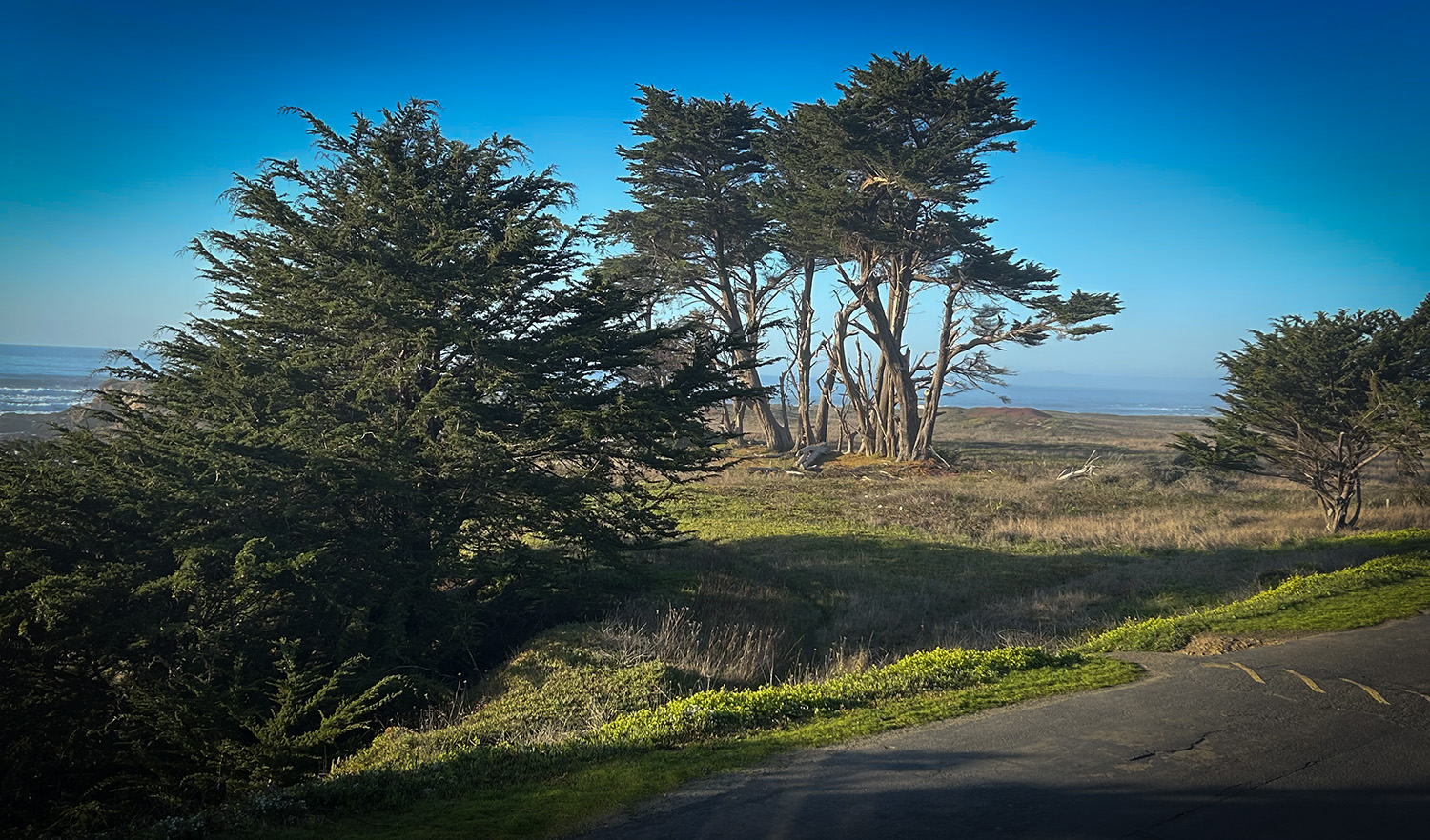
Start at Glass Beach and pick your direction — each one tells a different story.
Head north toward MacKerricher State Park for a quieter, wilder ride, with the Pacific never more than a glance away.
Head south toward town and you’ll roll into Noyo Headlands at the Noyo Bridge, passing dramatic bluff views and a worthwhile stop at the Noyo Center’s Crow’s Nest Nature Center along the way.
- Distance: – 6 miles round trip
- Difficulty: Easy
- Type: Paved, multi-use trail
- Highlights: Ocean bluffs, whale watching, interpretive signage, wildflowers, benches for taking it all in
- Best for: Families and casual riders
- Access: Glass Beach parking lot
2. Big River Haul Road
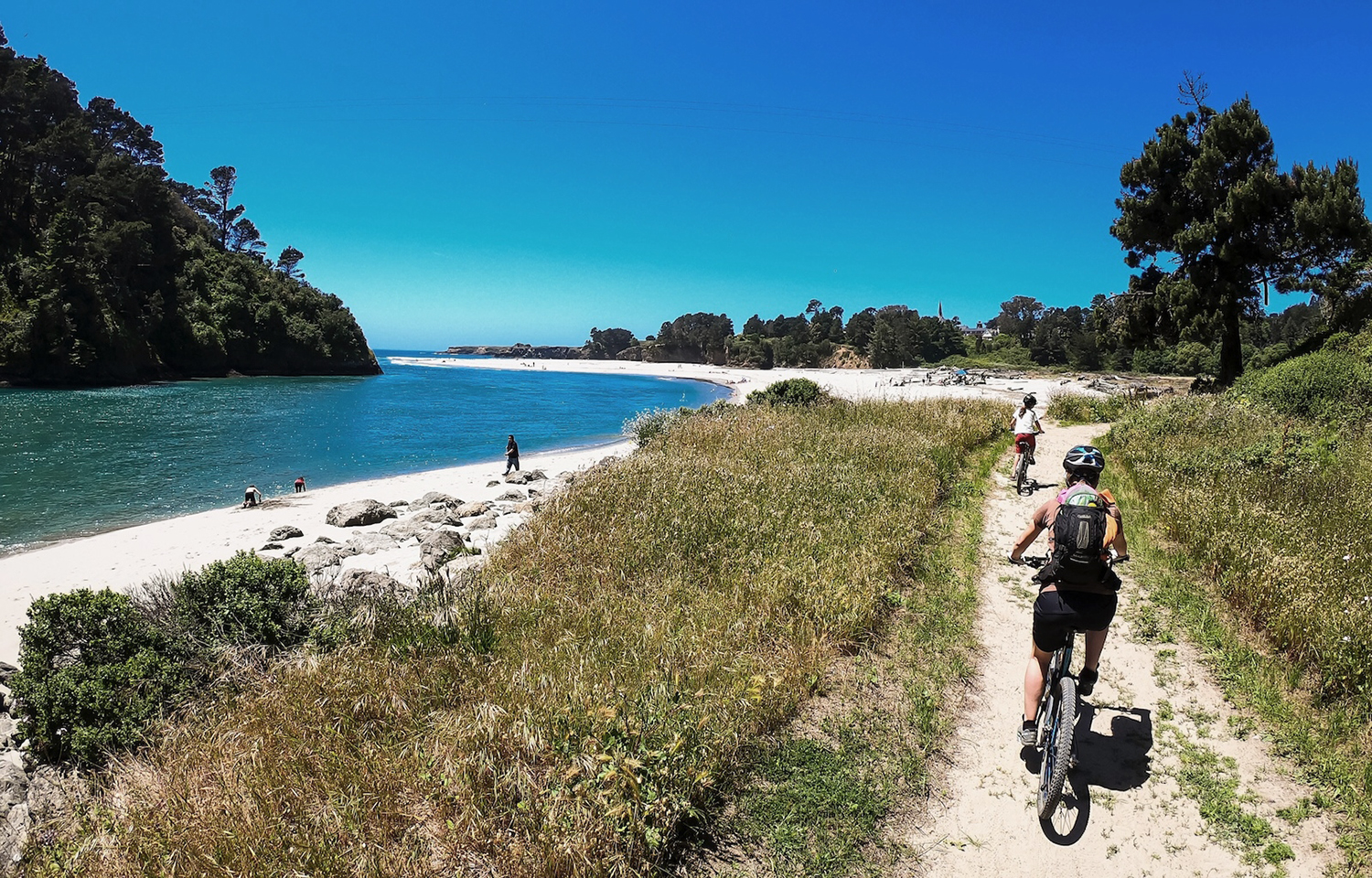
Photo: ©Trail Forks
Follow this gravel-and-pavement path east along Big River for as long as your legs (or your curiosity) will take you. Wide, welcoming, and flexible — go a mile or go ten.
• Distance: Out and back, as long as you like
• Difficulty: Easy to moderate
• Type: Gravel, hard-packed, with some paved sections
• Highlights: River views, generous trail width
• Best for: Families and casual riders
• Access: Take N. Big River Road off Hwy 1 to the trailhead parking lot
**Note: This is an active haul road. Expect trucks and use caution around curves.
3. Gravel Pit Road
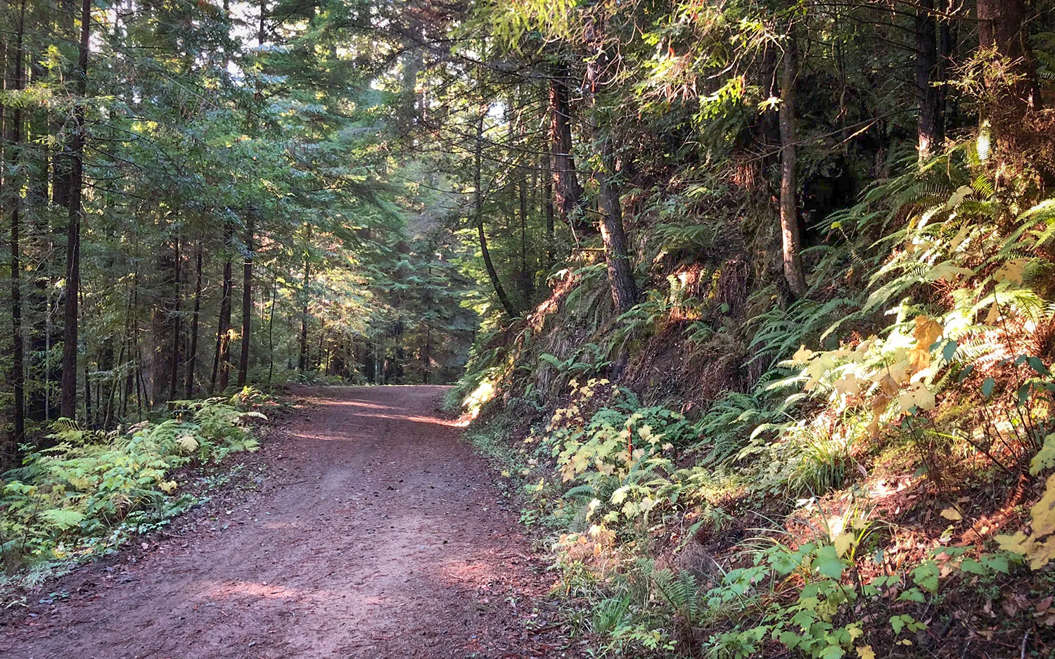
Photo: ©All Trails
Push deeper into the forest on this remote route along gravel fire roads, where the only company you’re likely to have is the local wildlife. Find some peace and quiet on these roads just minutes from the coast.
- Distance: variable
- Difficulty: Moderate to difficult, depending on distance and fitness
- Type: Gravel fire roads
- Highlights: Remote forest scenery, solitude, wildlife sightings
- Best for: Mountain bikes and gravel bikes on fire roads
- Access: From Hwy 20, turn north on Gravel Pit Road to the parking lot
4. The Scales
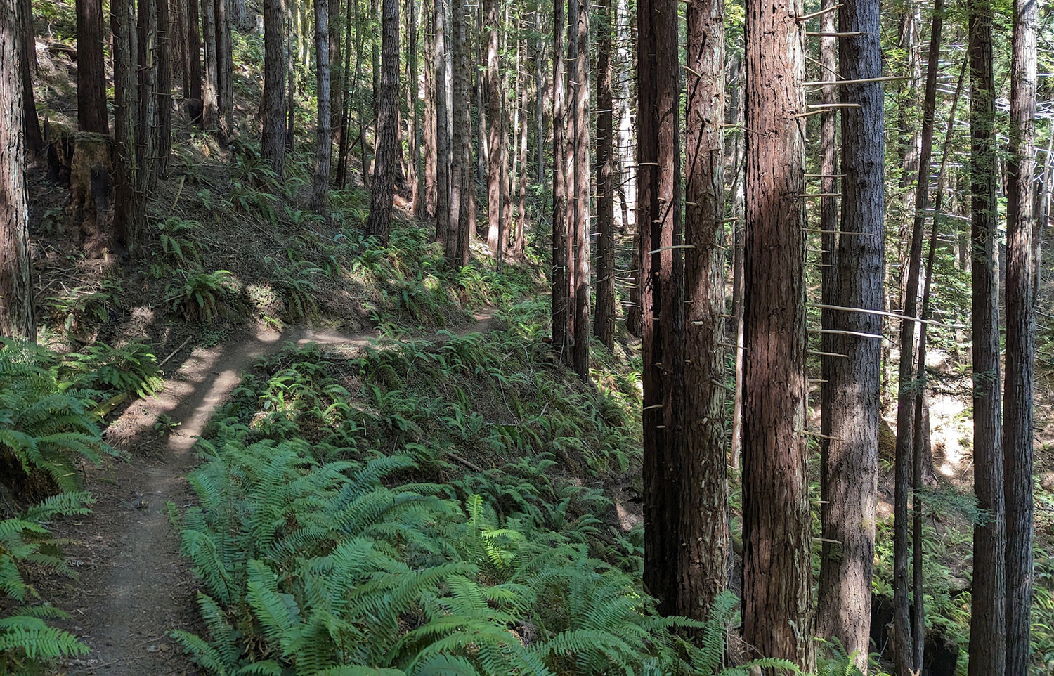
Photo: ©Trailfork
Ready to trade pavement and gravel for a single track? These trails take you through stands of towering redwoods, hidden creeks, rewarding riders of all levels with a genuine sense of solitude – and a few climbs that will make you earn the view.
- Distance: variable
- Difficulty: All levels depending on the trail
- Novice trails include Cypresss, TV, and Jackaroo
- Intermediate: Gunslinger and Beer Joint
- Advanced: check with AllTrails or TrailFork App before you head out
- **Trail signage is intermittent, use the apps to map your path for all levels.
- Type: Single-track and gravel
- Highlights: Dense forest trails, trail variety to suit all levels
- Best for: mountain bikes
- Access: From Hwy 1, turn east on Fern Creek Road, Right at Caspar Orchard Road, to the Scales parking lo
5. Observatory Trail Network
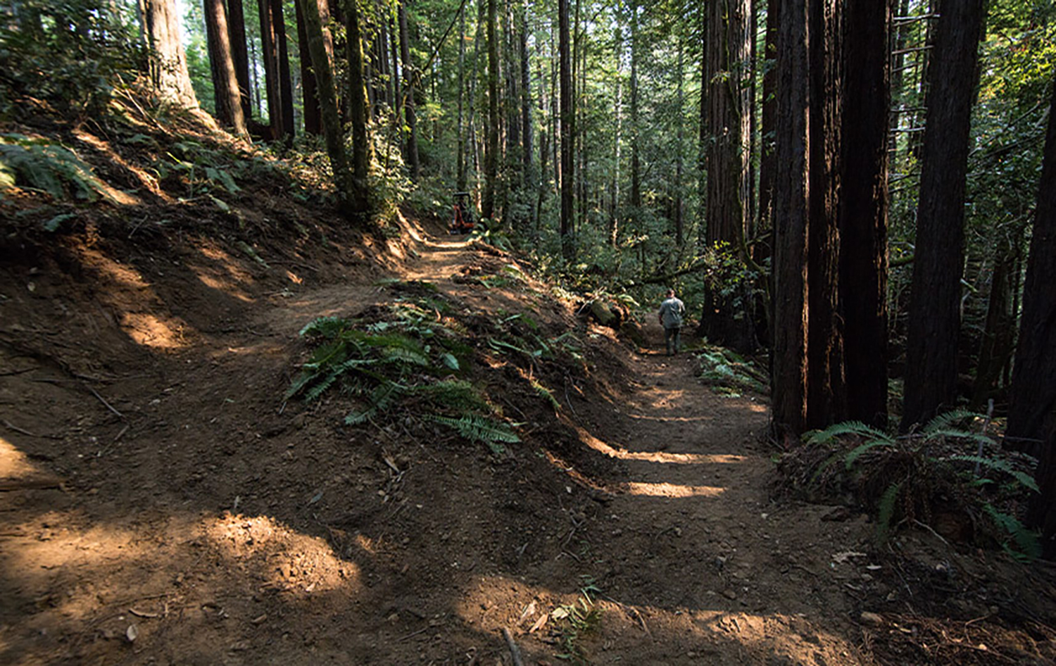
Photo: ©onetrackmind
This area takes you into the heart of the area’s mountain bike network, and there are miles and miles of trails from this stepping off point.
- Distance: variable
- Difficulty: All levels depending on the trail you choose, distance and fitness
- Type: Single-track
- Highlights: Dense forest trails, trail variety to suit all levels
- Best for: mountain bikes
- Access: From Hwy 1, take Caspar Little Lake Road (just north of the Point Cabrillo Lighthouse) to parking area
Local Tips Before You Ride
- Best time to ride: May through October, when the trails are driest and the sun’s out to play, however if you time it right in the winter, you can hit cool, dry and clear days as well.
- What to wear: Layer up — coastal fog can roll in (and out) fast, so be ready for both sun and mist in the same afternoon.
- Gear and repairs: Fort Bragg Cyclery has you covered for bikes and repairs; the Outdoor Store is your go-to for gear and local trail intel
- Class 1 ebikes are allowed on trails
- Pro tip: For advanced rides, the premium version of the AllTrails app or TrailFork is worth the upgrade because you can download maps to your phone that you will not be able to when out of service. Highly suggested!!!